EPATADA:
making water quality data work
We’re improving how people access and use the nation’s largest water quality dataset—the Water Quality Portal—by enhancing EPA’s Tools for Automated Data Analysis (TADA) in collaboration with Internet of Water and Duke University.
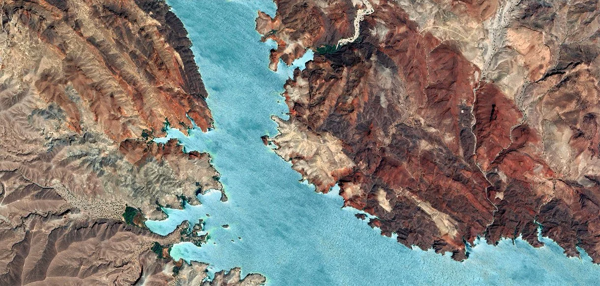
The Water Quality Portal is robust but It's Not always Easy to Use
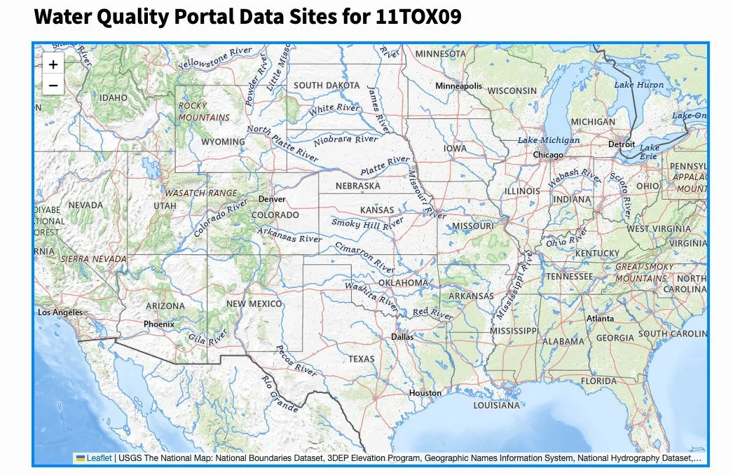
The Water Quality Portal aggregates surface water monitoring data from over 400 organizations across the U.S. But working with that data at scale is tough. People run into big hurdles: picking the right data, pulling their data out once it's been submitted, harmonizing datasets from different sources, and figuring out whether the data fit their decision-making needs.
To solve these problems, we partnered with the EPA, Duke University, and Internet of Water to improve TADA. Our goal: make water data easier to access and more usable for public agencies, researchers, and communities. We brought expertise in geospatial workflows and optimizing data retrieval–something EPA had identified as important but didn’t have the capacity to develop in-house.
Together, we’ve improved TADA’s functionality and user workflows so it’s easier to extract large datasets and make meaningful comparisons of Water Quality Portal data across space and time.
user-driven, open-source collaboration

Our collaboration with Internet of Water, Duke University, and the EPA shows how open-source tools and cross-sector partnerships can transform complex datasets into practical, trusted tools.
USER-DRIVEN DESIGN: We surveyed over 100 water professionals from agencies and organizations to ask what kinds of tool improvements would meet their needs.
GEOSPATIAL AND BIG DATA EXPERTISE: Our team brought in expertise on harmonizing spatial data, improving large-scale data access, and developing efficient workflows.
OPEN-SOURCE COLLABORATION: The EPA already had an open development process, making it easy for us to jump in and focus on what decision-makers really need.
BETTER TOOLS, SMARTER DECISIONS: The improved TADA tools help agencies and communities extract and analyze surface water data with ease, turning real data into better water decisions.